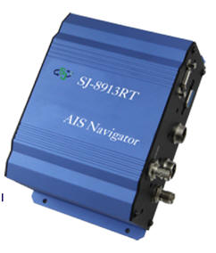
SJ-8913 RT AIS Navigator is a
build in chart plotter AIS device. It can transmit and
receive navigation information, such as MMIS, type of the
ship, SOG, COG, latitude and longitude. It can avoid
collision with other vessel. All information will be show on
monitor, it allows to monitoring vessels promptly and
improve the safety of maritime navigation. SJ-8913RT allow
to receive ship information both AIS class A and class B, it
is really helpful for harbor monitoring and fish boat
navigation safety.
• Build in sea chart Navigation • Receiving VHF range of all AIS messages • Connecting with screen. The maximum signal output resolution is 1280x800 • Alarm function to avoid collision • History tracking display • Sea chart(WGS84) • Easy to install and use
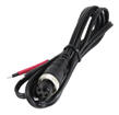
Power
DC 11-24V,Standard 13.8V
Dimensions
373mm×252.5mm×114.3mm
VGA output resolution
1280X800
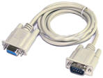
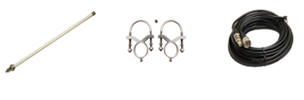
Connectors
VHF Antenna connector (BNC connector)
GPS Antenna connector (TNC connector)
RS232
VGA
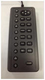
Remote control
Power input
GPS Frequency
1575.42MHz
GPS output format
NMEA-0183。
Chart plotter
Record tracking points
20000 points,7 colors to choose
Speed Accuracy
0.1Knots
Navigation Accuracy 1°
Sea chart Rate
Maximal: 150NM,Minimal: 0.01NM
Setting destinations
2000 times
Difference colors and forms to choose
Recording marks
5000times
Difference colors and forms to choose
Organization Routes
40 Routes
Alarm
Arrival,Dragging Anchor,Yawed,Turn on immediately.